
Knurrix knowledge
Using a GPS tracking app responsibly
## GPS provides measurements, not perfect truth A GPS receiver calculates positions from satellite signals. Every position includes uncertainty and is not a millimetre-perfect footprint. Open sky, obstruction, device characteristics and satellite geometry affect accuracy. A line joins many measurements to make a route visible. This is valuable in tracking as long as the map is read correctly. It shows where the phone or tracker was located and allows laid and worked routes to be compared. It cannot prove which scent information the dog perceived or explain behaviour by itself.
Updated 9 September 2026
Geprüft aus aktiver IGP- und IFH-Fährtenpraxis
In this article
- Standing still creates visible clusters
- Distance depends on the calculation
- Laid and worked routes measure different positions
- Corners and articles need deliberate markers
- Conditions belong to interpretation
- Use route comparison in sections
- Preserve privacy and raw data
- What GPS data can reliably contribute
- Creating a useful recording
- Reading a map responsibly
- Key points at a glance 11
Standing still creates visible clusters
When a tracklayer pauses at an article or corner, the device continues to report positions. They do not fall on exactly the same coordinate but drift around the real location. Connecting every raw point creates a dense knot and apparent extra distance. Knurrix collapses reliable stationary blocks into one representative point for display. Radio gaps are not simply treated as stationary time, and the raw data remain unchanged. The visible line becomes calmer without deleting the original GPS fixes from the record.
Distance depends on the calculation
Adding every raw point-to-point distance also adds measurement drift while stationary. An unfiltered track can therefore appear longer than the route actually walked. Excessive smoothing can remove genuine small movements. A responsible display needs transparent rules and a safety fallback for extreme cases. Knurrix calculates the displayed length from the cleaned route while preserving the raw points. Differences from paced distance, surveyed distance or another device may still occur and should never be treated as a fault by the dog.
Laid and worked routes measure different positions
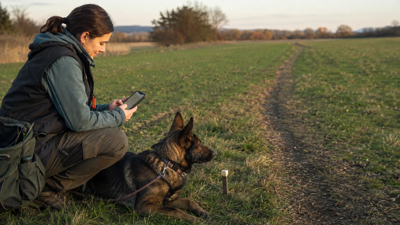
During laying, the device is carried by the tracklayer. During working, the phone is usually with the handler while the dog works ahead on a line. The worked route is initially the handler’s position, not the exact position of the dog’s nose. A recorded line length helps interpretation but cannot remove every effect of line angle, terrain and body position. A collar tracker can measure the dog more directly, but it remains a GPS measurement. Every comparison should state which device was carried where.
Corners and articles need deliberate markers
A bend in a GPS line should not automatically decide whether a corner was right, acute or obtuse. Noise and repeated points while marking can change the apparent geometry. The tracklayer knows which element was set and records it as a training fact. The same applies to the scent pad, curves, articles, food spots and finish. GPS supplies location; the deliberate input describes the task. Keeping both prevents silent reinterpretation and allows the selected element to be highlighted clearly on the map.
Conditions belong to interpretation
A gap between laid and worked routes may reflect wind, terrain, vegetation, line handling, an obstacle, GPS uncertainty or the dog’s working style. The line cannot name the cause. Responsible review combines the map with conditions while laying and working, especially changes during the ageing period. Even then, conclusions remain careful: data provide context and questions for the next session, not an automatic diagnosis of scenting ability.
Use route comparison in sections
The most useful review looks at individual legs, corners and articles rather than judging the entire line as good or bad. Where was the worked route stable? Where did pace or distance change? What did the handler observe? A single large deviation may be a measurement outlier. Repeated patterns under comparable conditions deserve more attention. Knurrix is designed to make those questions easier, not to create an apparently objective score from data that cannot support one.
Preserve privacy and raw data
Exact tracks are sensitive location data and do not need to become public maps. Knurrix keeps them within the user’s training record; public sharing may only show an abstract form without revealing the place. Display cleaning changes the view, not the underlying raw fixes. Future analysis can therefore return to the original recording. That combination supports practical clarity, privacy and honest limits.
What GPS data can reliably contribute
GPS is useful for recording sequence, approximate distance, marker positions and the relationship between laid and worked routes. It cannot prove every footprint to centimetre accuracy. Phones report positions with changing precision; obstruction, device position and standing still can alter the line. Knurrix therefore preserves raw points and cleans typical stationary clusters only for display. Deliberately recorded elements such as corners, arcs and articles remain separate entries. The map becomes a practical aid without presenting technical estimates as unquestionable facts.
Creating a useful recording
Before starting, location access should be enabled and the device given a moment with a clear view of the sky. Carry the phone consistently and avoid forcibly closing the app during recording. Mark elements as they are laid rather than reconstructing them later from memory. At the end, check that the session is saved and, once connected, synchronised. If the line contains surprising jumps, review reported accuracy, terrain and pauses. Individual anomalies are not silently removed from stored data; they are handled responsibly in the visual presentation.
Reading a map responsibly
Read the route together with time, reported accuracy and deliberately placed markers. A dense cloud near an article may simply be stationary GPS drift. A straight segment across a reception or measurement gap does not prove the dog travelled that exact line. Two apparently separate routes may still overlap within their respective uncertainty. An unusual location should therefore lead back to notes, conditions and the handler’s memory. A training recording is not a scientific instrument or cadastral survey. Its value is consistent, repeatable documentation of real practice. A dedicated high-precision tracker can improve the positional input, but interpretation of the dog’s work still belongs to an informed person.
Key points at a glance 11
When sharing a map, remove unnecessary private location detail and explain whether the line shows laying, working or both. Context prevents other people from reading more precision into the image than the device recorded.